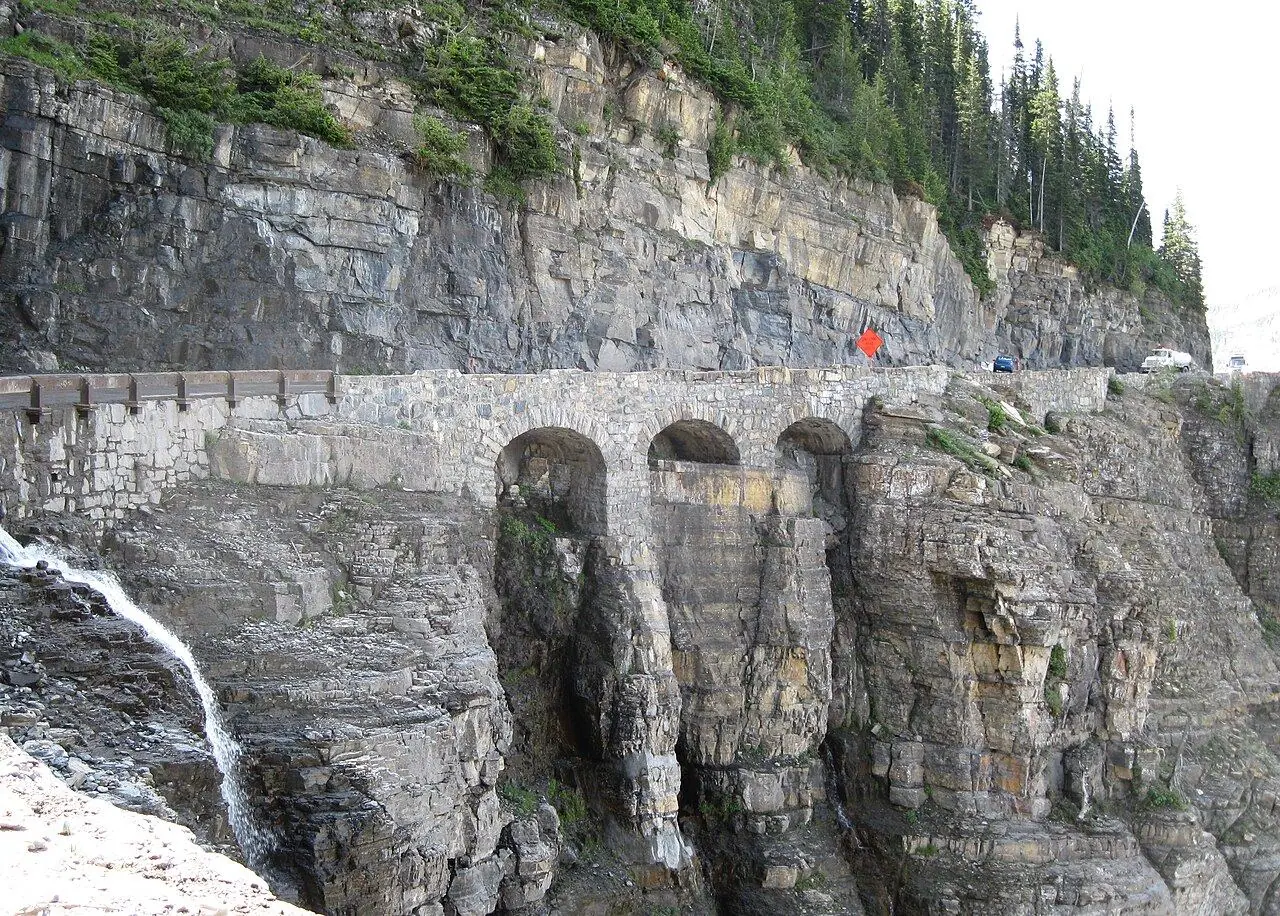
Going-to-the-Sun Road
Eighty kilometers across Glacier National Park, cut into cliffs above waterfalls and glaciers.
Photo: MPSharwood · CC BY-SA 4.0
- Distance
- 80.0 km · 50.0 mi
- Highest point
- 2,026 m · 6,646 ft
- Difficulty
- Moderate
- Time needed
- 2–3 hours without stops; plan a full day
- Best season
- Late June or early July to mid-October
Going-to-the-Sun Road guide: Lake McDonald, The Loop, Logan Pass, Wild Goose Island, vehicle size limits, opening dates, the free shuttle and when to drive.
Overview
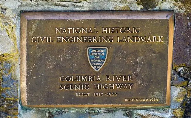
This road crosses Glacier National Park from West Glacier to St. Mary and climbs over the Continental Divide at Logan Pass, 2,026 meters up. Finished in 1932 and now a National Historic Landmark, it is one of the most spectacular mountain roads in North America, clinging to cliffs where waterfalls spill onto the pavement.
Because it is so narrow and winding, vehicles longer than 21 feet (6.4 m), wider than 8 feet or taller than 10 feet are not allowed on the section between Avalanche Creek and Rising Sun. The alpine part usually opens fully in late June or early July and stays open until mid-October; plow crews need weeks to clear drifts more than 20 meters deep near Logan Pass.
In 2026 no vehicle reservation is needed, but the parking lot at Logan Pass fills by mid-morning, so start early or ride the free park shuttle. Popular stops include Lake McDonald, the Trail of the Cedars and the trail to the Hidden Lake Overlook.
Stops along the way
-
1
West Glacier
The main western entrance, with gas, food and the Apgar visitor center a few minutes up the road.
-
2
Lake McDonald
The park’s largest lake, with colored pebbles under clear water and the historic Lake McDonald Lodge.
-
3
The Loop
A single hairpin bend high on the cliffs, looking across the valley to Heaven’s Peak.
-
4
Logan Pass
The top of the road on the Continental Divide, where the trail to the Hidden Lake Overlook begins.
-
5
Wild Goose Island Overlook
The most photographed view in the park: a tiny island in the middle of St. Mary Lake.
-
6
St. Mary
The eastern entrance at the edge of the plains, with motels, cafés and a visitor center.
Good to know
- Check the road status on the park website; the full road usually opens in late June or early July.
- Start before 8 a.m.; parking at Logan Pass fills by mid-morning in summer.
- If your RV or trailer is over the size limit, leave it at a campground and ride the free shuttle.
- Fill up in West Glacier or St. Mary, since there is no gas along the road.
Road rules along the way
Laws change at each state line.
Montana
- Top speed limit
- 80 mph (129 km/h)
- Phone while driving
- No statewide ban
Checked Oct 25, 2026; posted signs take priority.
Fuel, rest areas and charging
Counted along 82 km (51 mi) of road.
- Gas stations
- 4
- Rest areas
- 0
- Fast chargers
- 0
- Longest stretch without gas
- 81 km · 51 mi
Where to fill up
- Fill up around West Glacier: the next 81 km (51 mi) have no gas station on the route.
Leg by leg
| Leg | Distance | Gas stations | Fast chargers | Rest areas |
|---|---|---|---|---|
| West Glacier → Lake McDonald | 18 km | 2 | 0 | 0 |
| Lake McDonald → The Loop | 22 km | 0 | 0 | 0 |
| The Loop → Logan Pass | 13 km | 0 | 0 | 0 |
| Logan Pass → Wild Goose Island Overlook | 14 km | 0 | 0 | 0 |
| Wild Goose Island Overlook → St. Mary | 17 km | 2 | 0 | 0 |
Rest areas and service plazas
There are no official rest areas on this route; plan breaks at towns, viewpoints and gas stations.
OpenStreetMap data, Oct 28, 2026.
Photo gallery
No reviews yet. Been here? Be the first to share your tips!
Traveler reviews