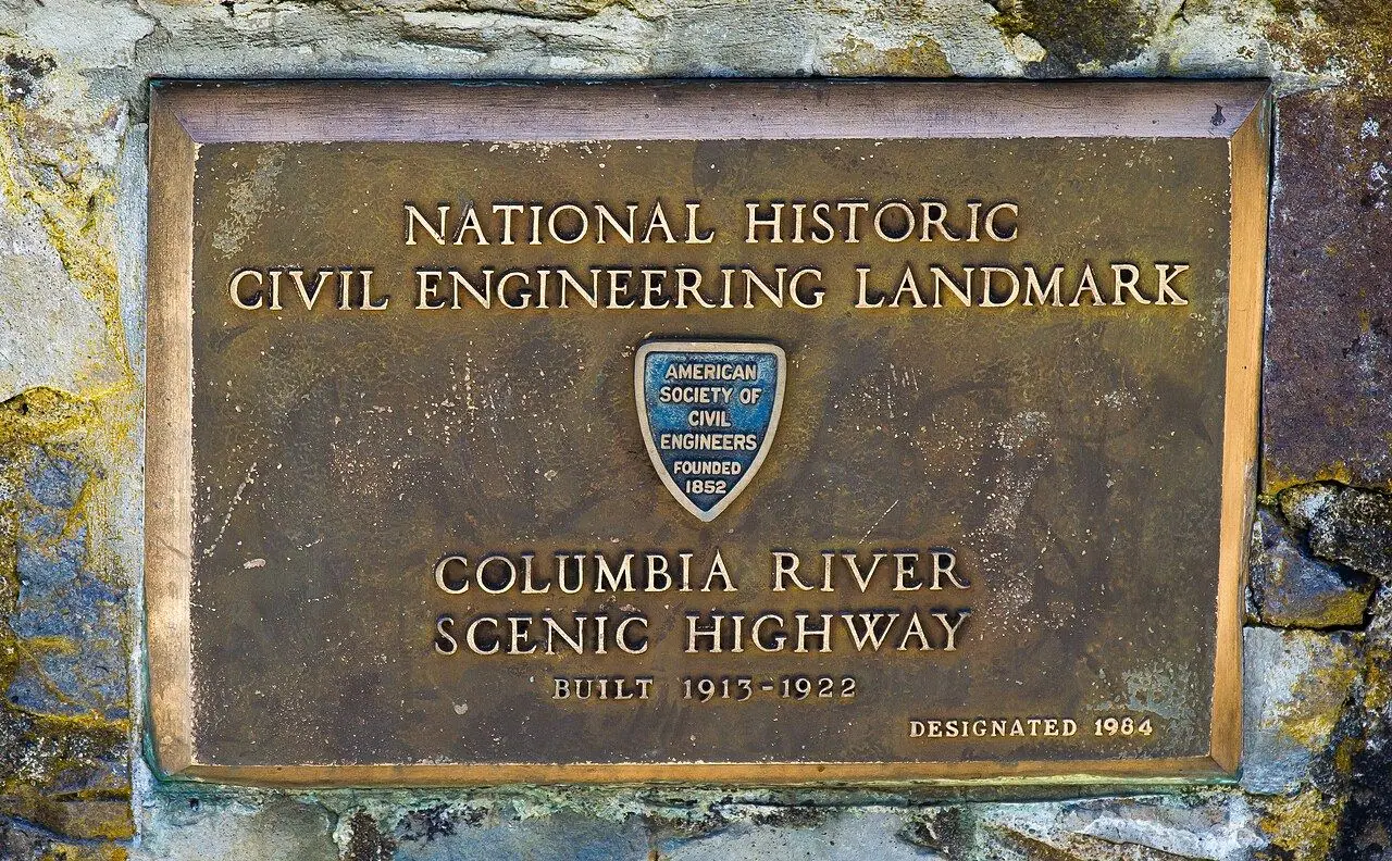
Historic Columbia River Highway
America’s first planned scenic highway, past waterfalls and viewpoints in the Columbia River Gorge.
Photo: Khamar · CC BY-SA 3.0
- Distance
- 110 km · 68 mi
- Difficulty
- Easy
- Time needed
- Half a day to a full day
- Best season
- All year; spring for waterfalls and wildflowers, fall for color
Historic Columbia River Highway guide: Vista House at Crown Point, Multnomah Falls, the waterfall corridor, Hood River, the Rowena Loops, permits, parking and the best season.
Overview
Built between 1913 and 1922, the Historic Columbia River Highway was the first planned scenic highway in the United States and is now a National Historic Landmark. Its engineer, Samuel Lancaster, designed it to show off the Columbia River Gorge, with stone walls, arched bridges and gentle curves suited to early cars.
From Troutdale, east of Portland, the road climbs to Vista House at Crown Point, an octagonal stone building high above the river. It then drops into a corridor of waterfalls: Latourell, Wahkeena and Multnomah Falls, at 189 meters the tallest in Oregon. The busiest stops can fill early or need timed permits in summer, so check before you go.
East of the waterfalls, Interstate 84 has replaced much of the old road, but restored sections in the drier eastern gorge are open to cars, including the Rowena Loops, hairpin curves above the river near Mosier. Hood River, a windsurfing and kiteboarding capital surrounded by orchards and wineries, makes a good base.
Columbia River Highway: stops along the way
-
1
Troutdale
The western gateway, about 25 minutes from Portland, with an old main street.
-
2
Vista House at Crown Point
A stone rotunda from 1918 with a sweeping view up the gorge.
-
3
Multnomah Falls
A two-tiered waterfall with a footbridge between the drops.
-
4
Hood River
Windsurfing, orchards along the Fruit Loop and good restaurants.
-
5
Rowena Crest
Hairpin loops and a plateau covered in wildflowers in spring, with views over the river.
Good to know
- Check whether a timed permit is needed for the waterfall corridor in summer.
- Visit Multnomah Falls early in the morning or on a weekday.
- Wildfire damage and rockfall close sections from time to time; check ODOT TripCheck before you leave.
Road rules along the way
Laws change at each state line.
Oregon
- Top speed limit
- 70 mph (113 km/h)
- Phone while driving
- Hand-held phones banned
Checked Oct 25, 2026; posted signs take priority.
Fuel, rest areas and charging
Counted along 103 km (64 mi) of road.
- Gas stations
- 17
- Rest areas
- 2
- Fast chargers
- 6
- Longest stretch without gas
- 48 km · 30 mi
Where to fill up
Never more than 48 km (30 mi) between gas stations.
Leg by leg
| Leg | Distance | Gas stations | Fast chargers | Rest areas |
|---|---|---|---|---|
| Troutdale → Vista House at Crown Point | 15 km | 8 | 2 | 0 |
| Vista House at Crown Point → Multnomah Falls | 14 km | 0 | 0 | 0 |
| Multnomah Falls → Hood River | 54 km | 6 | 4 | 1 |
| Hood River → Rowena Crest | 21 km | 3 | 0 | 1 |
Rest areas and service plazas
- 50 km Rest area Rest area
- 86 km Koberg Beach State Park Rest Area Rest area
OpenStreetMap data, Oct 28, 2026.
Photo gallery
No reviews yet. Been here? Be the first to share your tips!

Traveler reviews