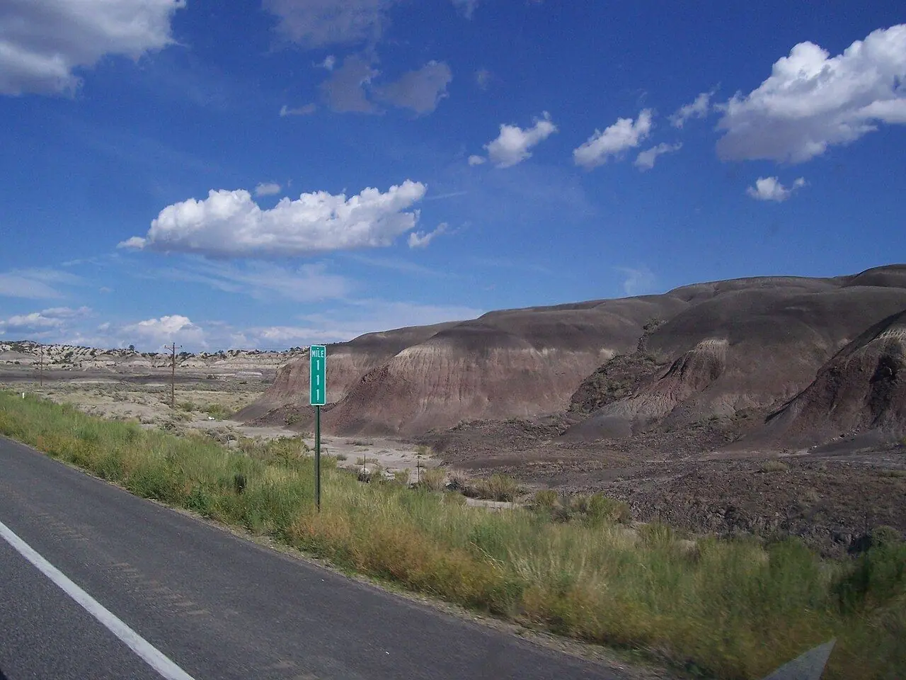
Million Dollar Highway (US-550)
Hairpins without guardrails and three high passes on US-550 through the San Juan Mountains.
Photo: Eric Kounce TexasRaiser · CC BY-SA 3.0
- Distance
- 113 km · 70 mi
- Highest point
- 3,358 m · 11,018 ft
- Difficulty
- Moderate
- Time needed
- About 2 hours from Ouray to Durango without stops
- Best season
- June–October; winter driving is for experienced drivers only
Million Dollar Highway guide: Ouray, Red Mountain Pass, Silverton, Molas Pass and Durango, tips for the drop-offs, the Durango & Silverton steam train and the best season.
Overview
The Million Dollar Highway is the stretch of US-550 between Ouray and Silverton in southwest Colorado, and most travelers continue south to Durango over a second high pass. The road climbs through the San Juan Mountains on tight switchbacks with sheer drop-offs and, in many places, no guardrails at all.
Nobody is sure where the name comes from: some say the road cost a million dollars a mile to build, others that the gravel used for it holds a million dollars in gold ore. Old mining ruins dot the slopes around Red Mountain Pass, at 3,358 meters the highest point, where iron-rich peaks glow red and orange.
Silverton, a former mining town, is the northern end of the Durango & Silverton Narrow Gauge Railroad, and its steam trains have run between the two towns since 1882. Drive slowly, use low gears on the descents and avoid the road after dark or in a snowstorm.
Million Dollar Highway: stops along the way
-
1
Ouray
Called the Switzerland of America, a Victorian town in a box canyon with hot springs pools.
-
2
Red Mountain Pass
The high point at 3,358 meters, ringed by red peaks and old mine buildings.
-
3
Silverton
A former mining town at about 2,840 meters and the northern end of the historic steam train.
-
4
Molas Pass
Wide views over the Grenadier Range and small alpine lakes, a favorite photo stop.
-
5
Durango
A lively college town with breweries, the train depot and Mesa Verde about an hour to the west.
Good to know
- If the drop-offs make you nervous, drive south from Ouray: that direction keeps you on the lane next to the mountain.
- Big RVs can make the trip but should go slowly and avoid winter.
- Check CDOT for closures; avalanches can close the passes in winter.
Road rules along the way
Laws change at each state line.
Colorado
- Top speed limit
- 75 mph (121 km/h)
- Phone while driving
- Hand-held phones banned
Checked Oct 25, 2026; posted signs take priority.
Fuel, rest areas and charging
Counted along 116 km (72 mi) of road.
- Gas stations
- 9
- Rest areas
- 1
- Fast chargers
- 4
- Longest stretch without gas
- 39 km · 24 mi
Where to fill up
Never more than 39 km (24 mi) between gas stations.
Leg by leg
| Leg | Distance | Gas stations | Fast chargers | Rest areas |
|---|---|---|---|---|
| Ouray → Red Mountain Pass | 21 km | 0 | 1 | 1 |
| Red Mountain Pass → Silverton | 17 km | 0 | 0 | 0 |
| Silverton → Molas Pass | 11 km | 1 | 0 | 0 |
| Molas Pass → Durango | 67 km | 8 | 3 | 0 |
Rest areas and service plazas
- 4 km Rest area Rest area
OpenStreetMap data, Oct 28, 2026.
Photo gallery
No reviews yet. Been here? Be the first to share your tips!

Traveler reviews