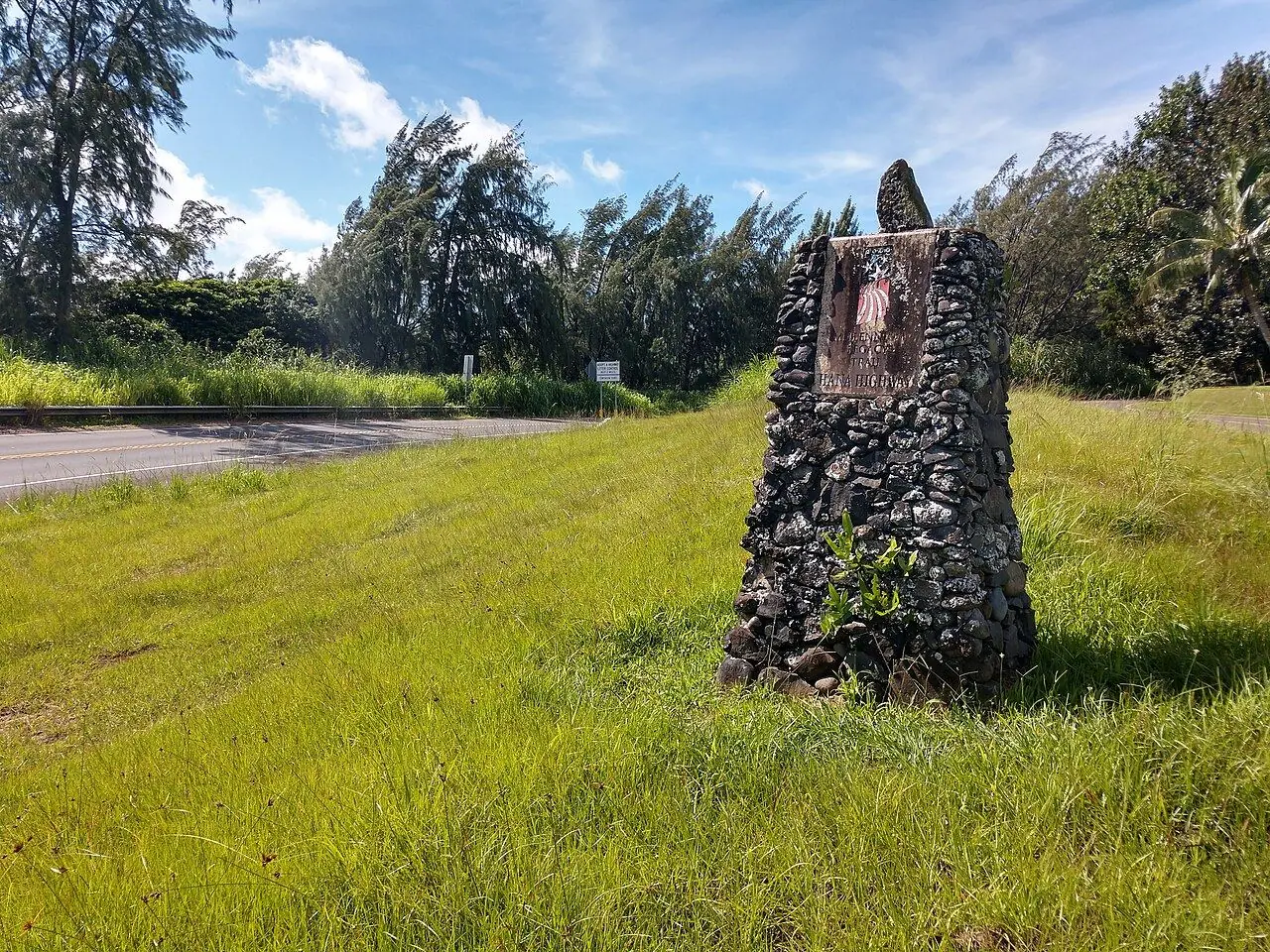
Road to Hana
About 620 curves and 59 bridges through rainforest, waterfalls and black-sand beaches on Maui.
Photo: 293.xx.xxx.xx · CC BY-SA 4.0
- Distance
- 84.0 km · 52.0 mi
- Difficulty
- Moderate
- Time needed
- 2.5–3 hours one way without stops; plan a full day
- Curves
- 620
- Best season
- All year; mornings and the drier summer months are best
Road to Hana guide: Paia, Twin Falls, the Keanae Peninsula, the black-sand beach at Waianapanapa and its reservation, Hana town, driving etiquette and how to plan the day.
Overview
The Hana Highway winds along the northeast coast of Maui from Kahului to the small town of Hana, about 84 kilometers that take at least two and a half hours without stops. The narrow road has roughly 620 curves and 59 bridges, many of them one lane, and passes waterfalls, rainforest and lookouts over the Pacific.
Highlights include the waterfalls at Twin Falls, the lava-rock peninsula of Keanae with its old church, and Waianapanapa State Park, where a black-sand beach lies between green cliffs. Visitors who do not live in Hawaii must reserve a time slot to enter Waianapanapa in advance.
Many people drive out and back in one long day, but a night in Hana makes the trip far more relaxed. Past Hana, the road continues to the Kipahulu district of Haleakala National Park and its Pools of Oheo; check your rental contract before driving farther south.
Road to Hana: stops along the way
-
1
Paia
A surf town with cafés and the last big gas station and grocery stores before the curves begin.
-
2
Twin Falls
Short, easy walks to waterfalls on a private farm with a fruit stand.
-
3
Keanae Peninsula
Black lava rocks, crashing surf and a stone church from the 1850s.
-
4
Waianapanapa State Park
A black-sand beach, sea caves and blowholes; book your entry ahead.
-
5
Hana
A quiet Hawaiian town with the Hasegawa General Store and Hamoa Beach nearby.
Road to Hana: good to know
- Pull over to let local drivers pass; they use this road every day.
- Leave early, ideally before 7 a.m., to stay ahead of the tour vans.
- Respect private property and closed trails, and never swim below waterfalls after rain, when flash floods can strike.
Road rules along the way
Laws change at each state line.
Hawaii
- Top speed limit
- 60 mph (97 km/h)
- Phone while driving
- Hand-held phones banned
Checked Oct 25, 2026; posted signs take priority.
Fuel, rest areas and charging
Counted along 76 km (47 mi) of road.
- Gas stations
- 2
- Rest areas
- 0
- Fast chargers
- 0
- Longest stretch without gas
- 75 km · 47 mi
Where to fill up
Never more than 75 km (47 mi) between gas stations.
Leg by leg
| Leg | Distance | Gas stations | Fast chargers | Rest areas |
|---|---|---|---|---|
| Paia → Twin Falls | 20 km | 2 | 0 | 0 |
| Twin Falls → Keanae Peninsula | 25 km | 0 | 0 | 0 |
| Keanae Peninsula → Waianapanapa State Park | 27 km | 0 | 0 | 0 |
| Waianapanapa State Park → Hana | 5 km | 0 | 0 | 0 |
Rest areas and service plazas
There are no official rest areas on this route; plan breaks at towns, viewpoints and gas stations.
OpenStreetMap data, Oct 28, 2026.
Photo gallery
No reviews yet. Been here? Be the first to share your tips!

Traveler reviews