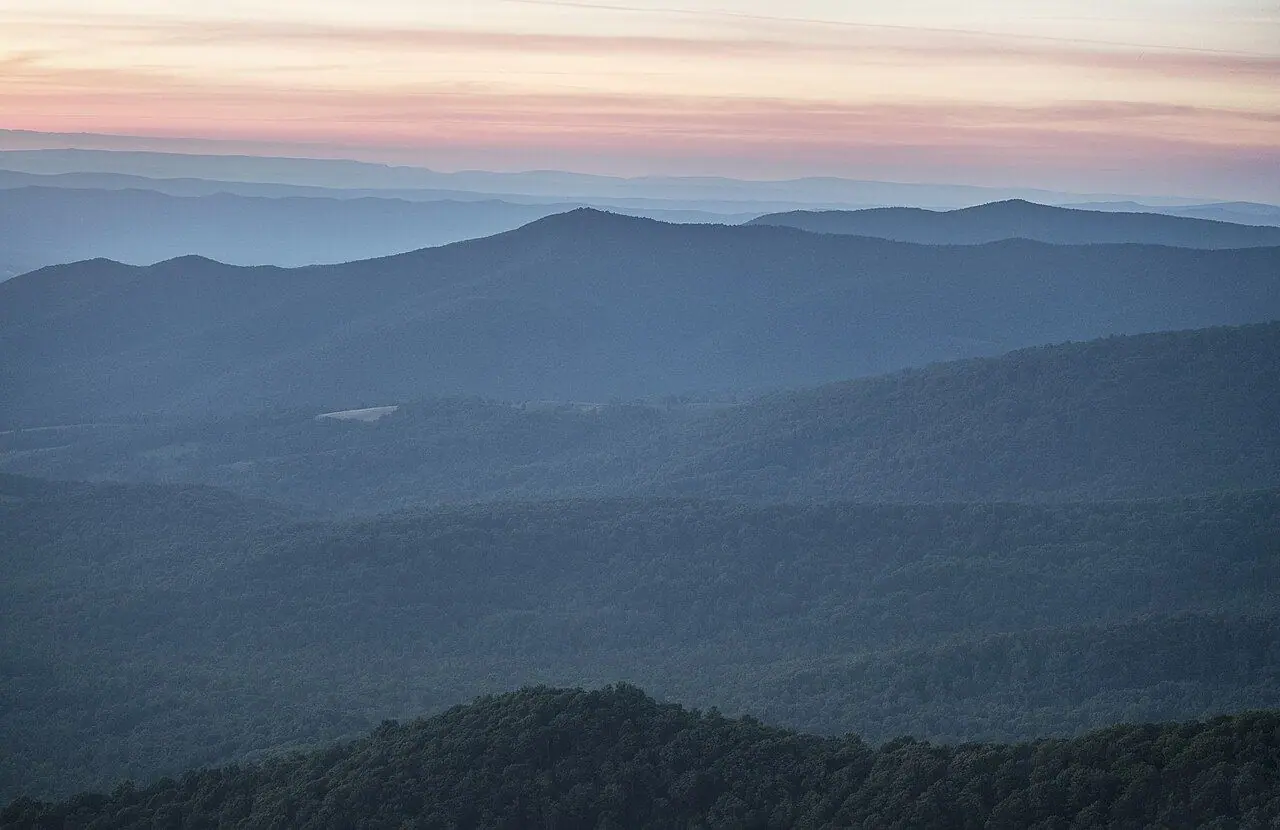
Skyline Drive
The crest of the Blue Ridge for 169 kilometers, with 75 overlooks and a speed limit of 35 mph.
Photo: TripOfALifestyle.com · CC BY 4.0
- Distance
- 169 km · 105 mi
- Highest point
- 1,122 m · 3,680 ft
- Difficulty
- Easy
- Time needed
- 4–5 hours without stops; plan a full day
- Best season
- April to November; parts may close in winter for snow and ice
Skyline Drive guide: Front Royal, Thornton Gap, Skyland, Big Meadows, Loft Mountain and Rockfish Gap, mileposts, fall color, the Marys Rock tunnel and tips.
Skyline Drive at a glance
The road runs the full length of Shenandoah National Park, 169 kilometers from Front Royal in the north to Rockfish Gap in the south, where the Blue Ridge Parkway continues. Mileposts on the west side of the road number every stop, and 75 overlooks open views over the Shenandoah Valley to the west and the Piedmont to the east.
The highest point, near Skyland, sits at about 1,120 meters, and the busiest areas, Skyland and Big Meadows, have lodges, restaurants, campgrounds and trailheads for waterfalls such as Dark Hollow Falls. Near Thornton Gap the road passes through the Marys Rock Tunnel, which has a clearance of about 3.9 meters, so drivers of tall RVs should check the height of their rig.
With a limit of 35 mph and countless stops, plan a full day to drive it end to end. Fall color, usually best in mid to late October, brings long lines at the entrances on weekends.
Skyline Drive: stops along the way
-
1
Front Royal entrance
The northern entrance near Front Royal, about 90 minutes from Washington, DC.
-
2
Thornton Gap
The US-211 entrance at mile 31, just before the Marys Rock Tunnel.
-
3
Skyland
The highest part of the drive, with a historic lodge and stables.
-
4
Big Meadows
The heart of the park: meadows full of deer at dusk, a lodge and the trail to Dark Hollow Falls.
-
5
Loft Mountain
A quieter southern area with a campground and the Appalachian Trail close by.
-
6
Rockfish Gap
The southern end at mile 105, where the Blue Ridge Parkway begins.
Skyline Drive: good to know
- Visit on a weekday in October to avoid the worst lines.
- Watch for deer and black bears crossing the road.
- Fill up before you enter; gas inside the park is sold only at Big Meadows in season.
Road rules along the way
Laws change at each state line.
Virginia
- Top speed limit
- 70 mph (113 km/h)
- Phone while driving
- Hand-held phones banned
Checked Oct 25, 2026; posted signs take priority.
Fuel, rest areas and charging
Counted along 174 km (108 mi) of road.
- Gas stations
- 4
- Rest areas
- 1
- Fast chargers
- 0
- Longest stretch without gas
- 89 km · 56 mi
Where to fill up
- Fill up around Skyland: the next 89 km (56 mi) have no gas station on the route.
- Fill up around Front Royal entrance: the next 84 km (52 mi) have no gas station on the route.
Leg by leg
| Leg | Distance | Gas stations | Fast chargers | Rest areas |
|---|---|---|---|---|
| Front Royal entrance → Thornton Gap | 51 km | 3 | 0 | 0 |
| Thornton Gap → Skyland | 18 km | 0 | 0 | 0 |
| Skyland → Big Meadows | 16 km | 1 | 0 | 0 |
| Big Meadows → Loft Mountain | 47 km | 0 | 0 | 1 |
| Loft Mountain → Rockfish Gap | 41 km | 0 | 0 | 0 |
Rest areas and service plazas
- 109 km Rest area Rest area
OpenStreetMap data, Oct 28, 2026.
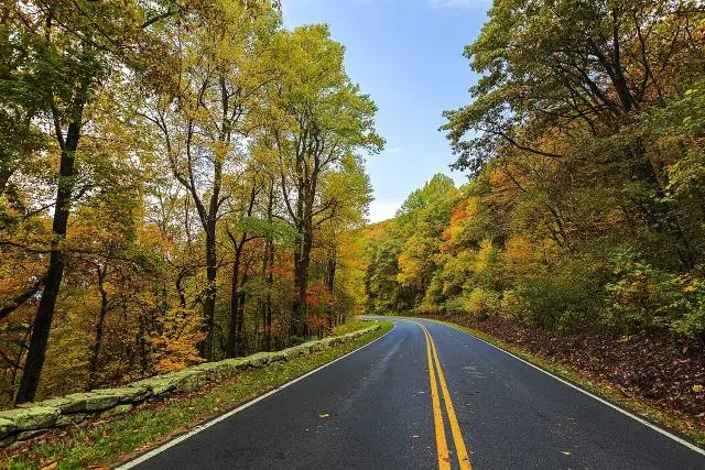
Skyline Drive in photos
No reviews yet. Been here? Be the first to share your tips!

Traveler reviews