I-80 Wyoming
I-80 Exit 335 in Wyoming
Take it for Buford. I-80 exit 335 lies out in open country (Wyoming). Close to the ramps there is 1 gas station. The exit number doubles as the mile marker: 335 miles from the Utah border and roughly 66 miles short of Nebraska.
Cheyenne lies 27 miles eastbound, around 25 minutes of driving from I-80 exit 335. Westbound, Laramie is 22 miles from this exit (about 20 minutes).
- 1 gas
- 0 food
- 0 hotels
- 0 EV
- Next gas: Eastbound 24 miles · Westbound 19 miles
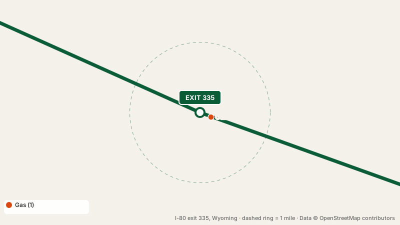
Where to get gas at I-80 exit 335
The closest pump to the interchange is Cenex, 0.2 miles from the interchange. Nothing else sells fuel within a mile. Eastbound, pumps return at exit 359, 24 miles away; westbound the next gas is at exit 316, 19 miles away.
Places to eat at I-80 exit 335
No restaurants are mapped within a mile of exit 335. The nearest exit with food is exit 359, 24 miles away.
Rooms near I-80 exit 335
There is no lodging right here. Closest beds: exit 358, 23 miles away.
this exit for electric cars
No EV chargers are mapped within a mile of I-80 exit 335. Fast chargers on either side: exit 59 in Nebraska, 126 miles eastbound, or exit 310, 25 miles westbound.
Rest stops in both directions
the interchange itself has no restrooms beyond its businesses. Eastbound drivers reach Pine Bluffs Rest Area, 66 miles ahead (restrooms, drinking water, open 24 hours). If you are traveling westbound, pull in at Summit Rest Area and Visitor Center, 12 miles ahead (restrooms, open 24 hours).
Exits before and after I-80 exit 335
Common questions
Can I get gas at exit 335?
Yes. Cenex is near I-80 exit 335.
Is there a motel at this exit?
No. The table of nearby exits shows where the closest rooms are.
Which rest stop is closest to I-80 exit 335?
Summit Rest Area and Visitor Center, 12 miles westbound of the interchange.
Plan a trip from this exit All I-80 exits in Wyoming
Source: OpenStreetMap, · Report a problem