I-80 Wyoming
I-80 Exit 184 in Wyoming
You will find I-80 exit 184 away from any town, Wyoming. Around the interchange you can count on no listed services. Signs at the ramp point to Continental Divide Road. Counting from the west end of I-80 in Wyoming, it is the 47th numbered interchange, 184 miles from the Utah line.
Laramie lies 129 miles eastbound, around 2.0 hours of driving from I-80 exit 184. Heading westbound, you reach Rock Springs in roughly 75 minutes (81 miles).
- 0 gas
- 0 food
- 0 hotels
- 0 EV
- Next gas: Eastbound 25 miles · Westbound 11 miles
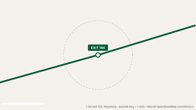
Fuel near this exit
No gas station is mapped within a mile of I-80 exit 184. Eastbound, pumps return at exit 209, 25 miles away, and westbound the next gas is at exit 173, 11 miles away.
Restaurants and fast food near I-80 exit 184
Food is not available at this interchange. The nearest exit with food is exit 209, 25 miles away.
Where to stay near the interchange
Overnight travelers must look elsewhere. Try exit 211, 27 miles away.
Electric vehicle chargers
There is nowhere to charge an EV at I-80 exit 184. Quick top-ups are possible at exit 209, 25 miles eastbound, or exit 173, 11 miles westbound.
Nearest rest stops
I-80 exit 184 is not a rest stop itself. If you are traveling eastbound, pull in at Fort Steele Rest Area, 45 miles ahead (restrooms, open 24 hours). If you are traveling westbound, pull in at Bitter Creek Rest Area (westbound), 40 miles ahead (restrooms, open 24 hours).
Two exits each way
Questions about exit 184
Does I-80 exit 184 have a gas station?
No station is mapped at this exit. Try exit 209 (25 miles eastbound). Or exit 173 (11 miles westbound).
Are there hotels at I-80 exit 184?
There is no hotel at this exit itself.
Which rest stop is closest to I-80 exit 184?
Bitter Creek Rest Area (westbound), 40 miles westbound of the interchange.
Plan a trip from this exit All I-80 exits in Wyoming
Source: OpenStreetMap, · Report a problem