I-80 Ohio
I-80 Exit 25: Archbold, Ohio
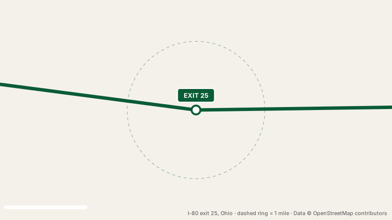
You will find I-80 exit 25 4.9 miles outside Archbold, Ohio. Around the interchange you can count on no listed services. Signs at the ramp point to SR 66. At mile 25, this is interchange 2 of 35 along I-80 in Ohio.
Archbold has about 4,400 residents. Eastbound, Perrysburg is 39 miles from this exit (about 36 minutes). Westbound, Elkhart is 87 miles from I-80 exit 25 (about 80 minutes).
- 0 gas
- 0 food
- 0 hotels
- 0 EV
- Next gas: Eastbound 9 miles · Westbound 12 miles
Where to get gas at the interchange
You cannot buy fuel at I-80 exit 25. Heading eastbound, exit 34, 9 miles away has the next station, and westbound, pumps return at exit 13, 12 miles away.
Places to eat at exit 25
Food is not available at this interchange. The nearest exit with food is exit 34, 9 miles away.
Rooms near I-80 exit 25
Nobody rents rooms within a mile of this exit. Closest beds: exit 34, 9 miles away.
Charging an EV at I-80 exit 25
There is nowhere to charge an EV at the interchange. For a fast charge, head to exit 59, 34 miles eastbound; otherwise exit 144 in Indiana, 35 miles westbound.
Rest stops in both directions
I-80 exit 25 is not a rest stop itself. If you are traveling eastbound, pull in at Blue Heron Service Area, 51 miles ahead (restrooms, truck parking). Going westbound, the next stop is Rest Area Trucks Only, 73 miles ahead (truck parking).
Nearby interchanges
Good to know
Is fuel available at exit 25?
No station is mapped at this exit. Try exit 34 (9 miles eastbound). Or exit 13 (12 miles westbound).
How far is I-80 exit 25 from town?
Archbold, Ohio is 4.9 miles from this exit.
Can I book a room at I-80 exit 25?
There is no hotel at the interchange itself.
How far is the closest rest stop from I-80 exit 25?
Blue Heron Service Area, 51 miles eastbound of exit 25.
Plan a trip from this exit All I-80 exits in Ohio
Source: OpenStreetMap, · Report a problem