I-80 California
I-80 Exit 91: Sacramento, California
In California, I-80 exit 91 is 5.5 miles outside Sacramento. Exit signs list Marysville Boulevard and Raley Boulevard. OpenStreetMap shows 2 gas stations and 1 place to eat within a mile of the ramps. The exit number doubles as the mile marker: 91 miles from the beginning of I-80 and roughly 110 miles short of Nevada.
About 490,700 people live in Sacramento. Reno lies 124 miles eastbound, around 2.0 hours of driving from I-80 exit 91. Heading westbound, you reach Vallejo in roughly 55 minutes (60 miles).
- 2 gas
- 1 food
- 0 hotels
- 0 EV
- Next gas: Eastbound 3 miles · Westbound 1 mile
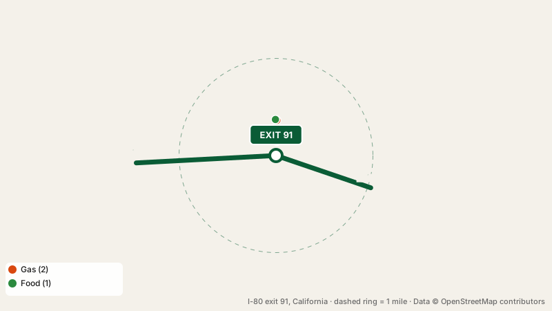
Where to get gas at this exit
Chevron is nearest to the ramp at 0.1 miles. In total there are 2 stations: Chevron and Arco. Going eastbound you can fill up again at exit 94, 3 miles away; heading westbound, exit 90, 1 mile away has the next station.
Places to eat at I-80 exit 91
Krispy Krunchy Chicken leads a mix of 1 fast food spot. Cuisines: chicken.
Hotels at the interchange
Nobody rents rooms within a mile of I-80 exit 91. Closest beds: exit 92, 1 mile away.
I-80 exit 91 for electric cars
No EV chargers are mapped within a mile of exit 91. For a fast charge, head to exit 94, 3 miles eastbound and exit 89, 2 miles westbound.
Where to take a break
I-80 exit 91 has no rest area of its own. The eastbound lanes lead to Gold Run Eastbound Rest Area, 52 miles ahead (restrooms, drinking water, vending machines). If you are traveling westbound, pull in at Sacramento 49er Travel Plaza, 6 miles ahead (restrooms, truck parking, Wi-Fi).
Exits before and after this exit
Good to know
Where can I fill up at I-80 exit 91?
Yes: Chevron and Arco are close to the off-ramp.
Which town is at I-80 exit 91?
Sacramento, California is 5.5 miles from the interchange.
Are there hotels at I-80 exit 91?
There is no hotel at exit 91 itself.
How far is the closest rest stop from I-80 exit 91?
Sacramento 49er Travel Plaza, 6 miles westbound of this exit.
Plan a trip from this exit All I-80 exits in California
Source: OpenStreetMap, · Report a problem