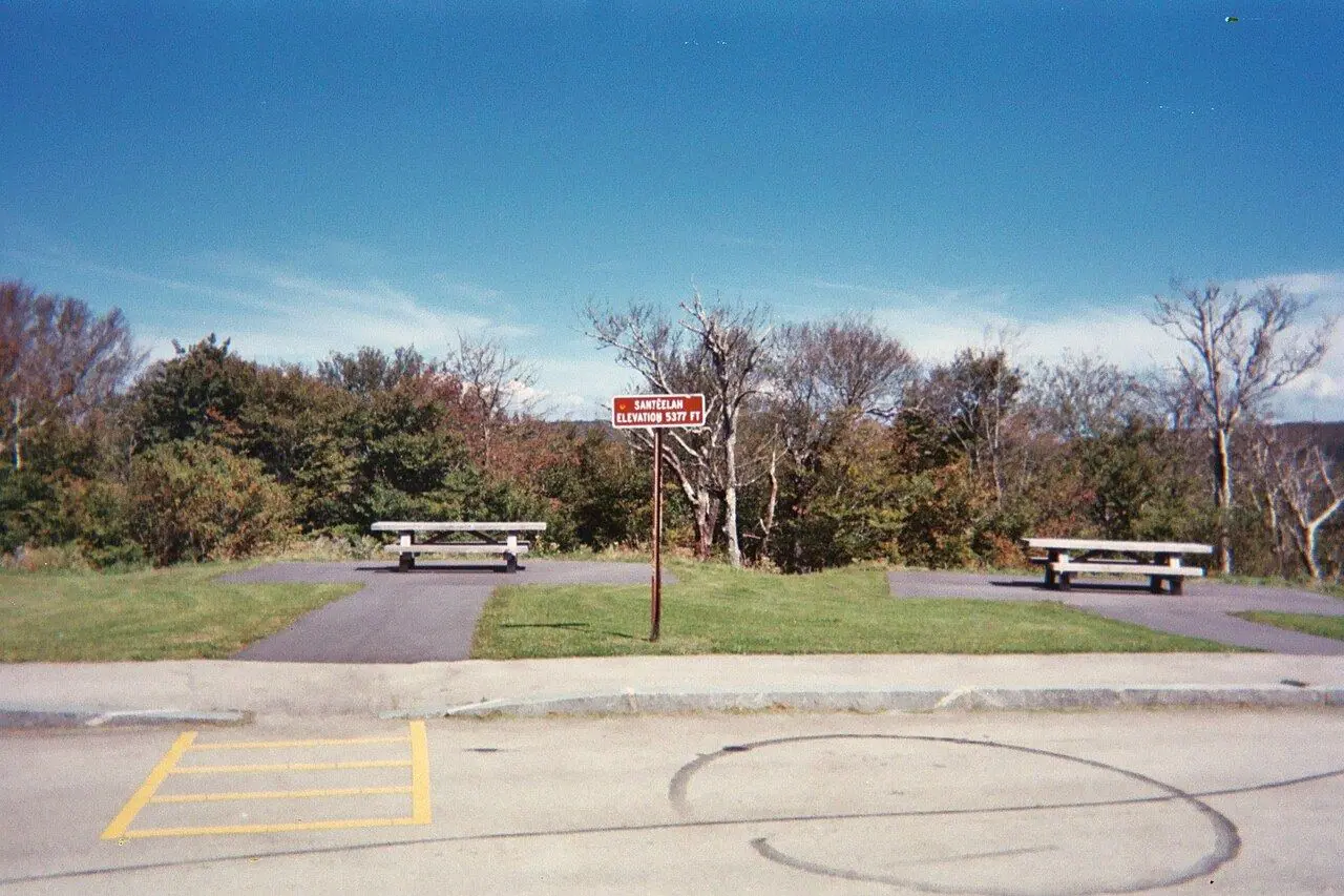
Cherohala Skyway
Sweeping curves up to 1,650 meters through the Cherokee and Nantahala national forests.
Photo: Ebyabe · CC BY 2.5
- Distance
- 69.0 km · 43.0 mi
- Highest point
- 1,650 m · 5,400 ft
- Difficulty
- Moderate
- Time needed
- 1–1.5 hours one way without stops
- Best season
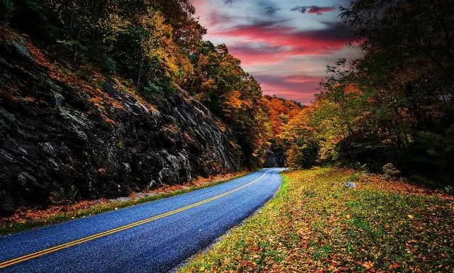
- April–November; October brings the best fall color
Cherohala Skyway guide: Tellico Plains, the high overlooks, Robbinsville, combining it with the Tail of the Dragon, fuel, fog and the best season for riding.
Overview
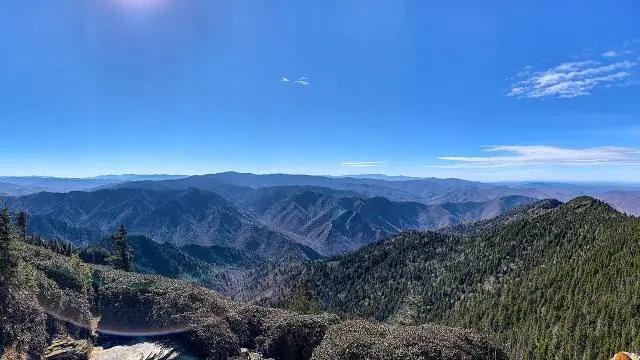
Finished in 1996 after decades of work, the Cherohala Skyway runs 69 kilometers between Tellico Plains, Tennessee, and Robbinsville, North Carolina. Its name joins the two national forests it crosses, the Cherokee and the Nantahala, and it climbs to about 1,650 meters, with long views over ridge after ridge of the southern Appalachians.
Unlike the tight bends of the nearby Tail of the Dragon, the skyway has wide, sweeping curves and good pavement, which makes it a favorite with motorcyclists and sports car drivers. Many riders link the two into a loop of about 200 kilometers in one day.
There are no gas stations or shops between the two towns, and at the top fog and cold can arrive quickly, even in summer. Pullouts with restrooms and overlooks give regular places to stop.
Cherohala Skyway: stops along the way
-
1
Tellico Plains, Tennessee
The western start, with gas, cafés and a visitor center for the skyway.
-
2
Turkey Creek Overlook
One of the first big overlooks, looking west over the Tennessee foothills.
-
3
Haw Knob and Santeetlah Overlook
The high section near the state line, above 1,600 meters, with long views into North Carolina.
-
4
Robbinsville, North Carolina
The eastern end, about 25 minutes from Deals Gap and the Tail of the Dragon.
Cherohala Skyway: good to know
- Fill up in Tellico Plains or Robbinsville; there is no gas in between.
- Carry a warm layer and rain gear for the high section.
- Watch for wildlife and gravel in the curves, especially early in the morning.
Road rules along the way
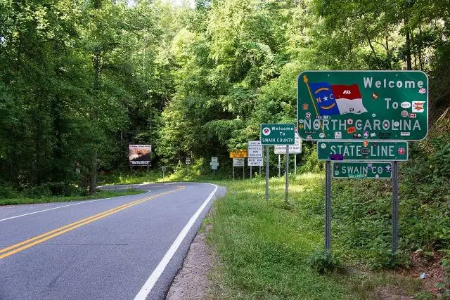
Laws change at each state line.
Tennessee
- Top speed limit
- 70 mph (113 km/h)
- Phone while driving
- Hand-held phones banned
- Motorcycle helmet
- Required for all riders
- Lane splitting
- Not allowed
North Carolina
- Top speed limit
- 70 mph (113 km/h)
- Phone while driving
- Texting banned
- Motorcycle helmet
- Required for all riders
- Lane splitting
- Not allowed
Checked Oct 25, 2026; posted signs take priority.
Fuel, rest areas and charging
Counted along 107 km (66 mi) of road.
- Gas stations
- 3
- Rest areas
- 1
- Fast chargers
- 0
- Longest stretch without gas
- 106 km · 66 mi
Where to fill up
- Fill up around Tellico Plains, Tennessee: the next 106 km (66 mi) have no gas station on the route.
Leg by leg
| Leg | Distance | Gas stations | Fast chargers | Rest areas |
|---|---|---|---|---|
| Tellico Plains, Tennessee → Turkey Creek Overlook | 26 km | 1 | 0 | 0 |
| Turkey Creek Overlook → Haw Knob and Santeetlah Overlook | 43 km | 0 | 0 | 0 |
| Haw Knob and Santeetlah Overlook → Robbinsville, North Carolina | 38 km | 2 | 0 | 1 |
Rest areas and service plazas
- 74 km Cherohala Skyway restroom/trail head Rest area
OpenStreetMap data, Oct 28, 2026.
Photo gallery
No reviews yet. Been here? Be the first to share your tips!

Traveler reviews