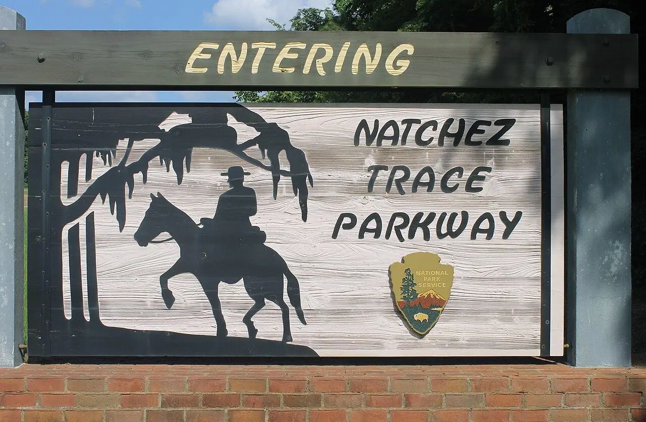
Natchez Trace Parkway
A 715-kilometer ribbon of road through forest and history, with no trucks, no billboards and a 50 mph limit.
Photo: Billy Hathorn · CC BY 3.0
- Distance
- 715 km · 444 mi
- Difficulty
- Easy
- Time needed
- 2–3 days at an easy pace
- Best season
- April–May and October; summer is hot and humid
Natchez Trace Parkway guide: Natchez, Emerald Mound, the Cypress Swamp, Tupelo, the Meriwether Lewis site, the Double Arch Bridge, fuel stops and riding tips.
Natchez Trace at a glance
The parkway follows a historic corridor used for centuries by Native Americans, traders and settlers, running 444 miles from Natchez, Mississippi, through a corner of Alabama to near Nashville, Tennessee. The National Park Service runs it, commercial traffic and billboards are banned, and the speed limit is mostly 50 mph.
For motorcyclists it is a relaxed, flowing ride rather than a twisty one, through hardwood forest, farmland and wetlands, with mileposts marking every stop. Highlights include Emerald Mound, one of the largest Native American ceremonial mounds in the country, the boardwalk through the Cypress Swamp, and the parkway visitor center in Tupelo, the town where Elvis Presley was born.
Near the northern end, the Double Arch Bridge carries the road high over a valley in a graceful concrete span, a classic photo stop. There are no gas stations on the parkway itself, so leave it for a nearby town while your tank is still half full.
Natchez Trace: stops along the way
-
1
Natchez
The southern end, an old river town with antebellum mansions on the bluff above the Mississippi.
-
2
Emerald Mound
An eight-acre ceremonial mound built between about 1250 and 1600; you can climb to the top.
-
3
Cypress Swamp
A short boardwalk loop through water tupelo and bald cypress trees.
-
4
Tupelo Parkway Visitor Center
The parkway’s main visitor center, close to Elvis Presley’s birthplace.
-
5
Meriwether Lewis Site
The place where the explorer Meriwether Lewis died in 1809, with his monument.
-
6
Northern terminus near Nashville
The end of the parkway near Nashville, just past the Double Arch Bridge.
Natchez Trace: good to know
- Plan fuel stops: you have to leave the parkway to buy gas.
- Watch for deer and wild turkeys, especially at dawn and dusk.
- Cyclists share the road; give them plenty of room when you pass.
Road rules along the way
Laws change at each state line.
Mississippi
- Top speed limit
- 70 mph (113 km/h)
- Phone while driving
- Texting banned
- Motorcycle helmet
- Required for all riders
- Lane splitting
- Not allowed
Alabama
- Top speed limit
- 70 mph (113 km/h)
- Phone while driving
- Hand-held phones banned
- Motorcycle helmet
- Required for all riders
- Lane splitting
- Not allowed
Tennessee
- Top speed limit
- 70 mph (113 km/h)
- Phone while driving
- Hand-held phones banned
- Motorcycle helmet
- Required for all riders
- Lane splitting
- Not allowed
Checked Oct 25, 2026; posted signs take priority.
Fuel, rest areas and charging
Counted along 738 km (458 mi) of road.
- Gas stations
- 17
- Rest areas
- 1
- Fast chargers
- 0
- Longest stretch without gas
- 151 km · 94 mi
Where to fill up
- Fill up around Cypress Swamp: the next 151 km (94 mi) have no gas station on the route.
- Fill up around Tupelo Parkway Visitor Center: the next 148 km (92 mi) have no gas station on the route.
- Fill up around Cypress Swamp: the next 106 km (66 mi) have no gas station on the route.
- Fill up around Emerald Mound: the next 103 km (64 mi) have no gas station on the route.
Leg by leg
| Leg | Distance | Gas stations | Fast chargers | Rest areas |
|---|---|---|---|---|
| Natchez → Emerald Mound | 21 km | 6 | 0 | 0 |
| Emerald Mound → Cypress Swamp | 196 km | 4 | 0 | 1 |
| Cypress Swamp → Tupelo Parkway Visitor Center | 228 km | 6 | 0 | 0 |
| Tupelo Parkway Visitor Center → Meriwether Lewis Site | 197 km | 1 | 0 | 0 |
| Meriwether Lewis Site → Northern terminus near Nashville | 95 km | 0 | 0 | 0 |
Rest areas and service plazas
- 44 km North Fork Coles Creek Rest area
OpenStreetMap data, Oct 28, 2026.
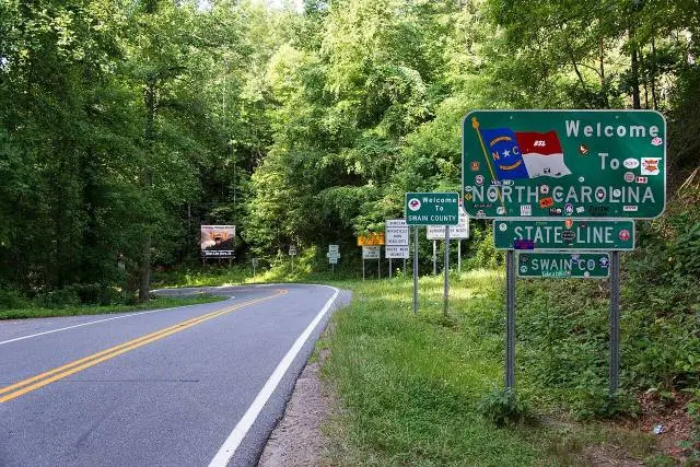
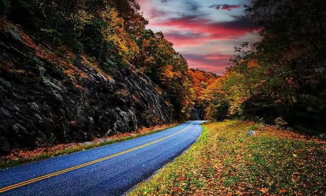
Natchez Trace in photos
No reviews yet. Been here? Be the first to share your tips!
Traveler reviews