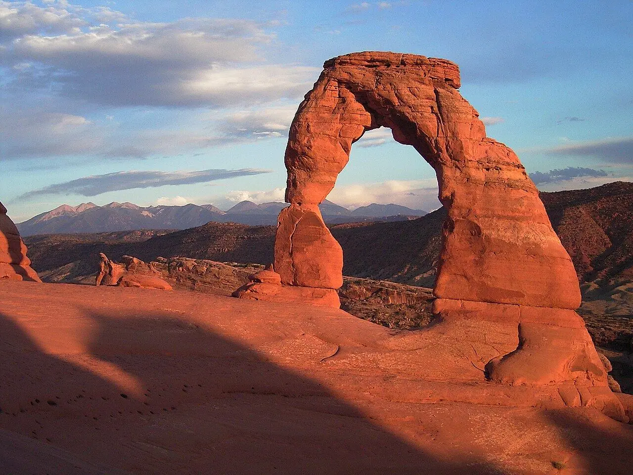
Delicate Arch Trail
Utah’s most famous arch at the end of a climb over open slickrock, glowing at sunset.
Photo: Palacemusic · CC BY-SA 3.0
- Distance
- 4.8 km · 3.0 mi
- Elevation gain
- +146 m · 480 ft
- Difficulty
- Moderate
- Time needed
- 2–3 hours round trip
- Route type
- Out & back
- Permit
- Not required
- Best season
- March–May and September–October; summer only at dawn
Delicate Arch Trail guide in Arches: Wolfe Ranch, the petroglyph panel, the slickrock climb, the final ledge, sunset, heat, water and parking.
Overview
The 16-meter-tall arch stands alone on the rim of a sandstone bowl, framing the La Sal Mountains, and appears on Utah’s license plates. The trail to it starts at Wolfe Ranch, where a homestead cabin from the early 1900s still stands, and passes a panel of Ute petroglyphs showing riders on horseback.
Most of the route climbs a broad, open slope of bare sandstone with no shade, marked by cairns, before the final stretch follows a narrow ledge along a cliff and the arch suddenly comes into view. The round trip is about 5 kilometers with roughly 150 meters of climbing.
Sunset is the classic time, when the arch glows orange, but hundreds of people gather then and the parking lot fills early; sunrise is quieter. In summer, temperatures on the slickrock pass 38°C by midday.
Delicate Arch: stops along the way
-
1
Wolfe Ranch trailhead
The trailhead beside a weathered homestead cabin.
-
2
Ute petroglyph panel
A short side path to rock art of riders on horseback, made by Ute people.
-
3
Slickrock climb
A long climb up open sandstone with no shade, marked by stone cairns.
-
4
Delicate Arch
The arch on the rim of a sandstone bowl, with the La Sal Mountains behind it.
Good to know
- Carry at least 2 liters of water per person and a hat.
- Bring a headlamp if you stay for sunset; the descent ends in the dark.
- Do not climb on the arch or walk under it during busy times; everyone wants a clear photo.
Photo gallery
No reviews yet. Been here? Be the first to share your tips!
Traveler reviews